
Bay Circuit Trail: Hiking The 230 Mile Emerald Necklace of Massachusetts (Section 5)
- Mat
- Oct 27, 2018
- 2 min read

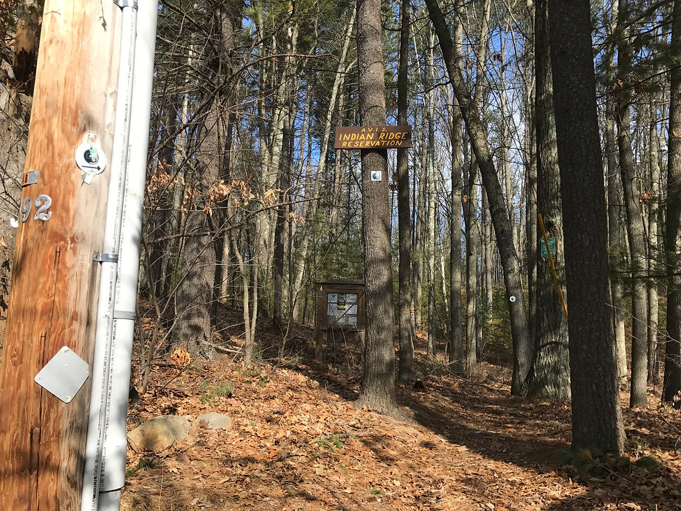
Picking up where I left off near the T, I crossed a busy intersection and entered the woods Indian Ridge Reservation.
It was a cold late February day, when I set off to compete this section. Wind gusts picked up at times, making it feel cooler than it was. This section transitioned from dirt to pavement quite often making the weather a little more enjoyable. The lack of snow on the ground made the mileage feel the same.

Indian Ridge is a small section of the BCT at around only 40 acres, but it is a significant one. Created from the Wisconsin Glacier over 10,000 years ago, this esker has become a popular hiking spot and was prescribed to those in poor health in the late 1800s as a place to walk around frequently.

Leaving the ridge, the trail continued through Andover's community of trails and the West Parish Garden Cemetery before making its way to the end of Cutler Rd.

I enjoyed how well marked the trails for this section were and was amazed that even the street sign posts were utilized to keep me on the correct path. Following this short stretch of concrete, I entered the wooded Doyle Link before crossing over two major highways.

The first was a Memorial Bridge whited passed over I-93. The road walk was pleasant, but my solitude was lifted by the dense traffic which passed beneath my steps. On the bright side, the weather had warmed up and with a steady pace I couldn't help but roll my base layer sleeves up a little.

The BCT then led me to a short pathway off of the road and passed a beautiful residential area complete with a marsh view and turtle crossing sign.

After crossing my second major interstate for the trip, I-495, I had entered the woods once again to what was one of my favorite portions of this trip. For a couple of miles, I passed through Bald Hill Reservation and Harold Rafton Reservation.

Near the end of Harold Rafton Res, there was a tranquil and enjoyable view where I stopped to have a snack.

One more push through the pavement then brought me down a wooded pathway in Deer Jump Reservation until I came to the Merrimack River. Here, I saw a couple of joggers and my first of other people on the BCT with all the mileage I have covered so far. Maybe the surprisingly warm weather was hard for them to pass up too.

I can't blame them. The 5.5 mile stretch of walking by the Merrimack River (3.2 wooded and another 2.3 near downtown) is a pleasant one. The Merrimack flows 117 miles from the Pemigewasset and Winnipesaukee Rivers in Franklin, NH to this stretch along the BCT and continues to the Atlantic Ocean in Newburyport close to the northern terminus of the BCT. The start of the journey for SOBOs and the completion point for NOBOs.

After making my way to the Auditorium in the center of Lowell, I turned around and began my hike back to my car in Andover to complete another section of the Bay Circuit Trail.
Section Distance: 13.9 miles
Total Distance Hiked (Out-And-Back): 27.8 miles
Locations: From The T in Andover, MA to Auditorium in Lowell, MA


Comments